Buffalo Peaks Wilderness encompasses 41,232 acres and it gets it’s name from the 2 – 13,000+ foot Buffalo Peaks that are there. It’s one of those places you go to, not for views of majestic peaks, but for solitude. It’s a mix of conifers and aspens as you hike up the trail from the Fourmile trailhead to the rolling meadows of grasses and wildflowers. There are tons of beaver dams and ponds and the wildflowers are in bloom.
I didn’t climb the Buffalo Peaks but think I will the next time I head up there – maybe in the fall when all the aspen have turned color. Round trip was just about 9 miles with a 1600′ elevation gain to around 11,412′ in elevation (according to my GPS). The beavers have created a small pond that now goes over a small section of the trail but was easy enough to go around – I just followed the moose tracks.
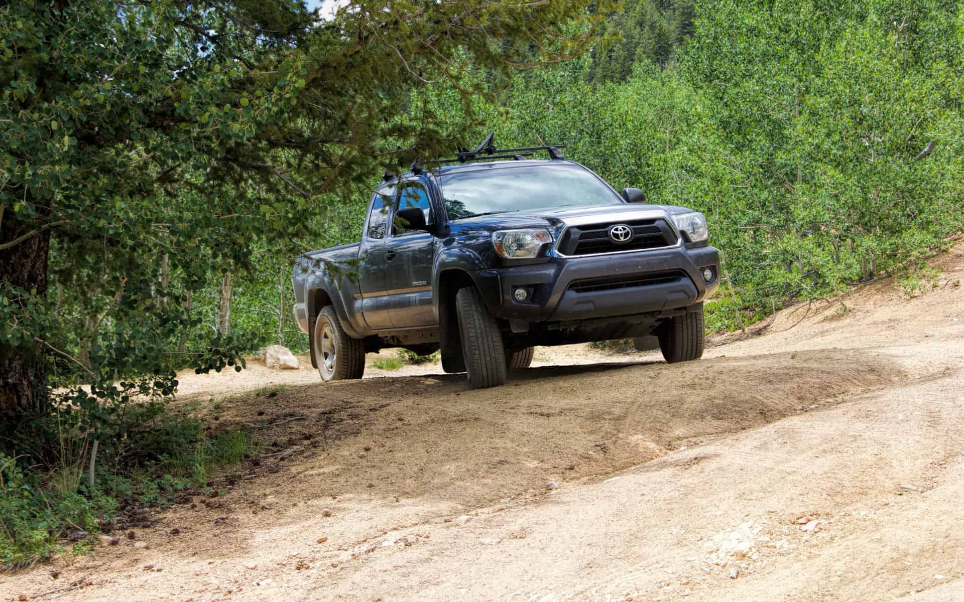
I went up County Road 375 to the trailhead but you REALLY need a high clearance 4WD vehicle to make it up the last mile of the road. I do love my truck.
I was lucky and had the whole trail to myself on a Friday. There are other trails but they started on the opposite side. There’s a loop I may try that combines the Rich Creek Trail and the Tumble Creek Trail for a 12-13 mile hike, definitely another over-nighter.
One thing I did notice is that the sign at the trail head called it the “Tumble Creek Trail” but a sign further on in the hike called it the “Four Mile Creek Trail” so I’m not sure which is correct. 🙂