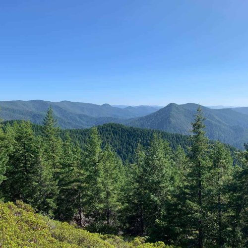
This is a beautiful hike in Saguaro National Park West. I took King Canyon Trail (3.5 miles, one way) to the top of Wasson Peak (elevation 4,687 feet), the highest point in the Tucson Mountain.
The picture above (from the top of Wasson Peak) shows Panther’s Peak – the hike from the previous post.
The trailhead and parking area for this hike are directly across Kinney Road from the Arizona-Sonora Desert Museum, two miles east of the Red Hills Visitor Center. The first .9 miles is a gradual climb up to Mam-A-Gah Picnic Area, which was named after a Tohono O’odham Indian Chief. The next 1.4 miles to the junction of the Sweetwater Trail are steeper. Numerous switchbacks on the next .9 miles lead to the Hugh Norris Trail. The final .3 miles ascends the Hugh Norris Trail to the top.

