While staying at the Riverside RV Resort in Brookings Oregon I decided to go on a tent camping expedition to Olympic National Park. The great thing about this park is that it’s only accessible by trail. Unlike some places, such as Acadia National Park in Maine and Mount Washington in New Hampshire, there isn’t a convenient road to take you to the top. No roads = Less people. 🙂
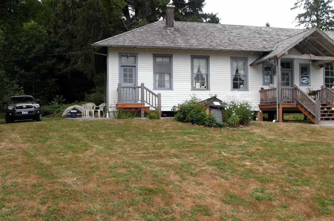
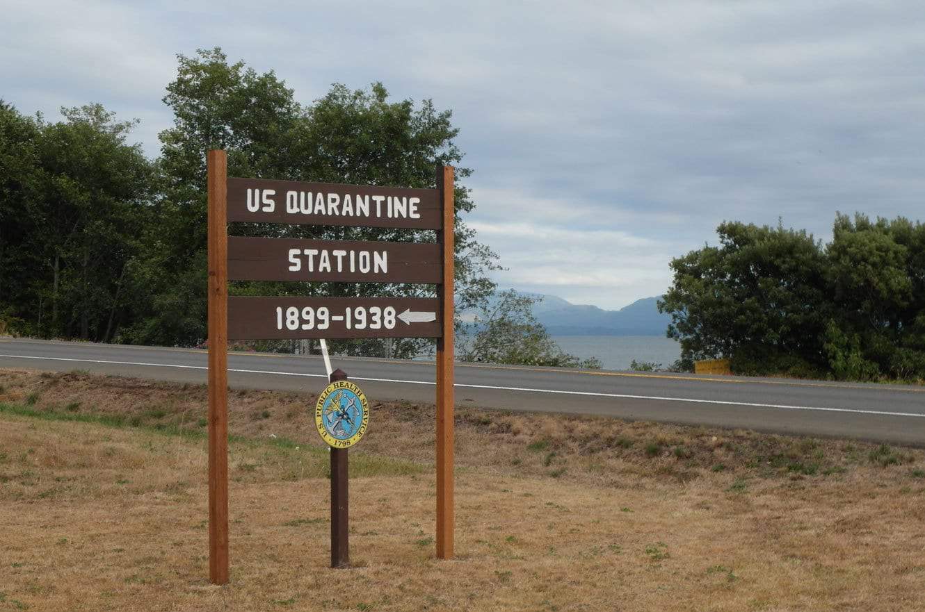
My first stop, simply by happenstance, was at the Columbia River Quarantine Station at Knappton. I’d stopped at an information booth on the Oregon side of the Columbia River to ask about a camping spot and it worked out like this: The woman at the information booth had a friend who owned the quarantine station whose brother was the caretaker. She called the friend who said to call the brother and see if I could camp out in the yard over night and so it happened. (*laughs) I had a LOVELY stay. Mr. Bell was kind enough to also give me a tour and it really is a fascinating piece of history.
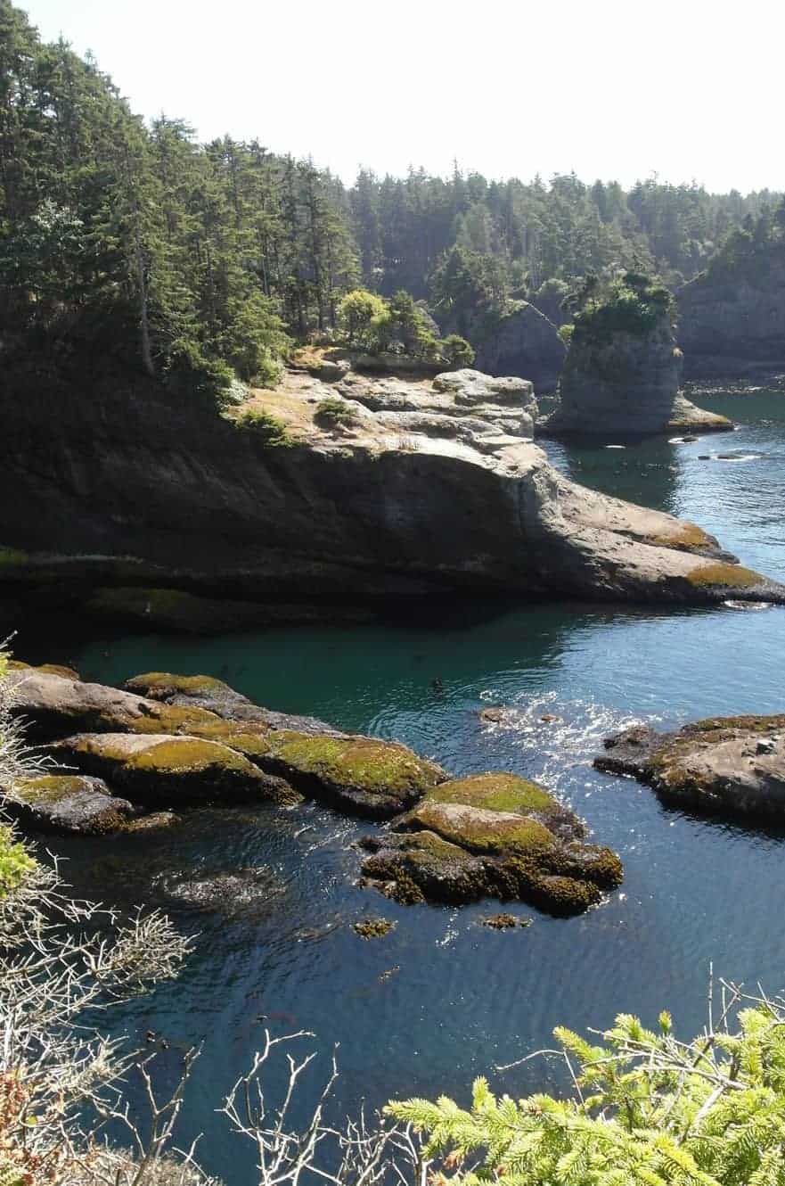
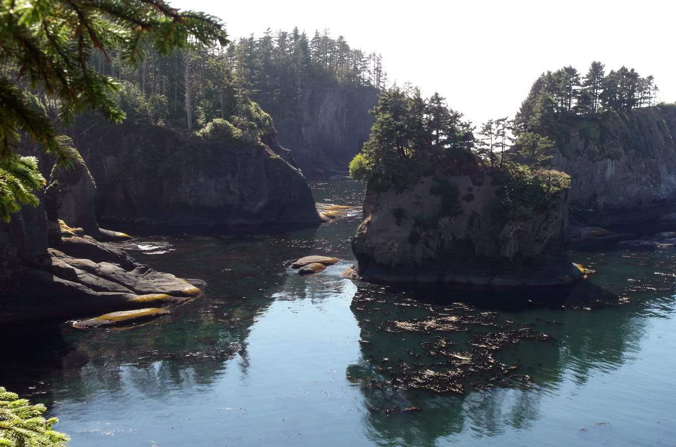
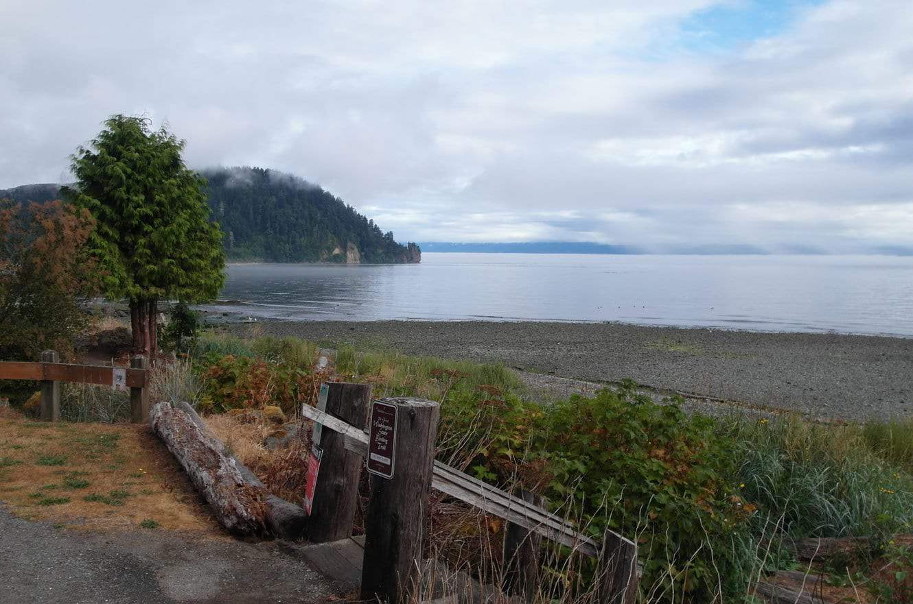
The first stop, once I was in the park, was the Cape Flattery Trail. It’s an easy 0.75 miles from the trailhead to the overlook. This is the most northwesterly tip of the contiguous lower 48 states. It was pretty but the trail ended in an observation deck that got very crowded, very quickly… and as you may already know… I avoid crowds like the plague.
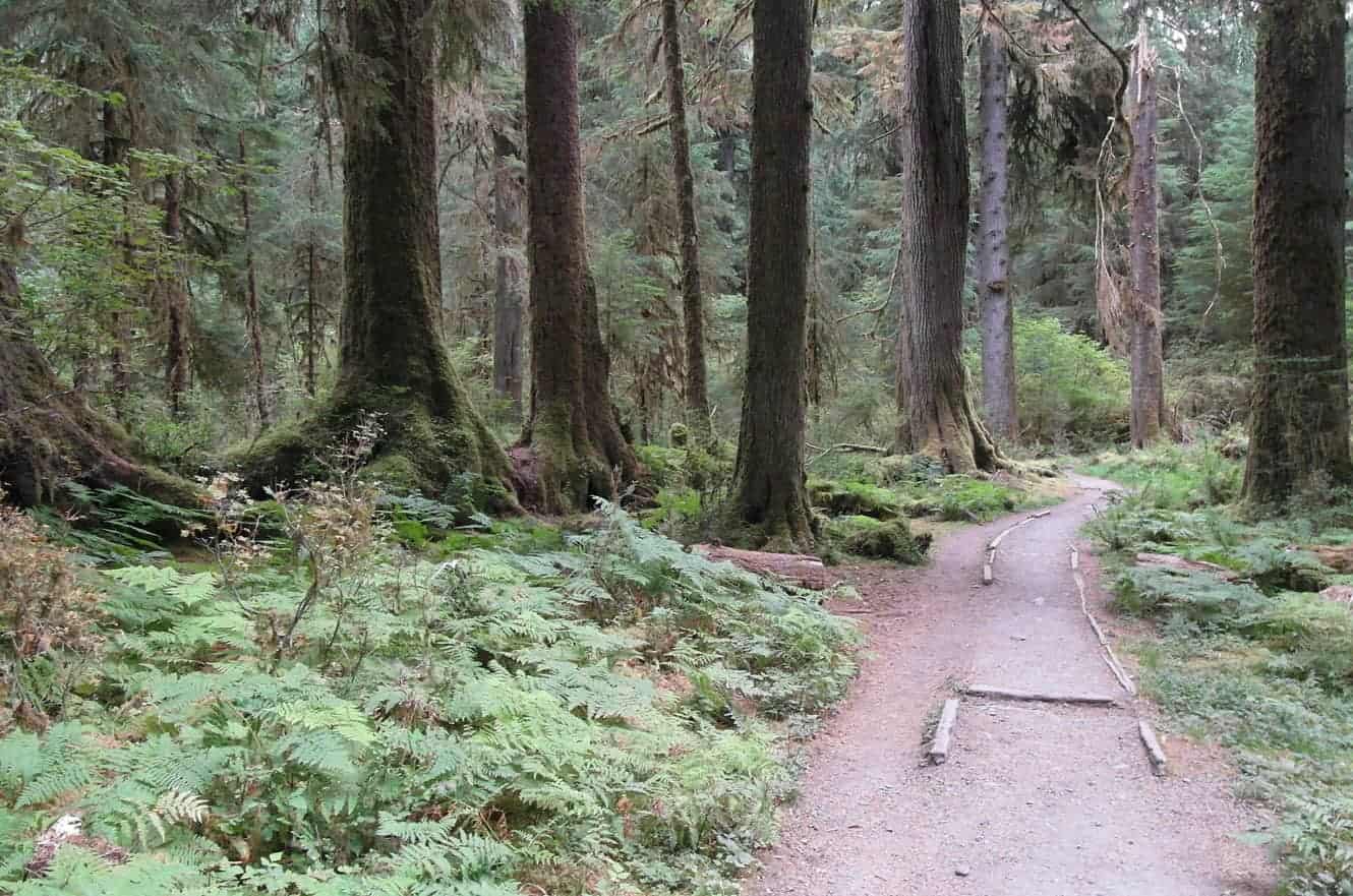
This is part of the HOH River Trail and it is in fact a rain forest. The Olympic Peninsula is the wettest region in the lower 48 states – not too surprisingly. While this trail is 31 miles out and back to the base of Mt. Olympus, I decided that 6 miles round trip was more than enough for me.
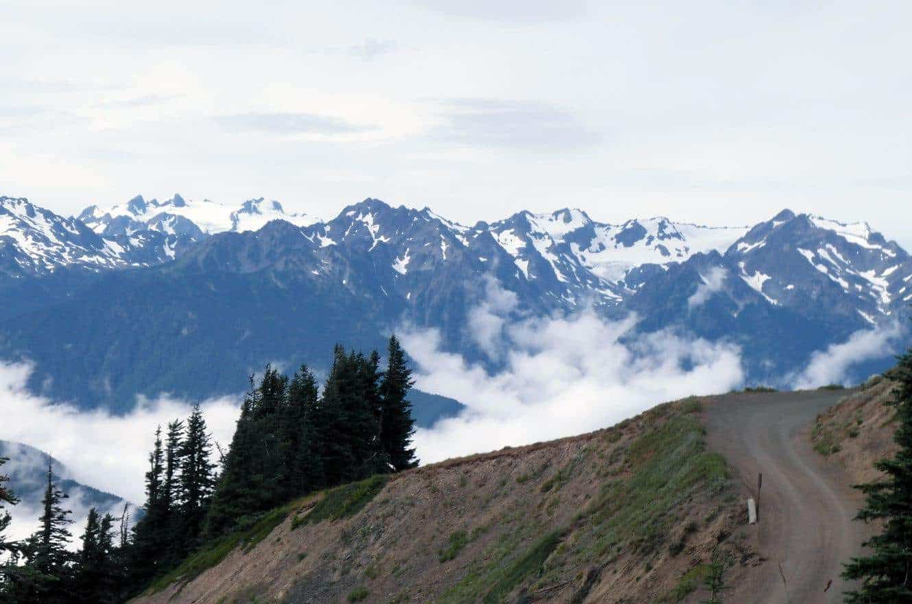
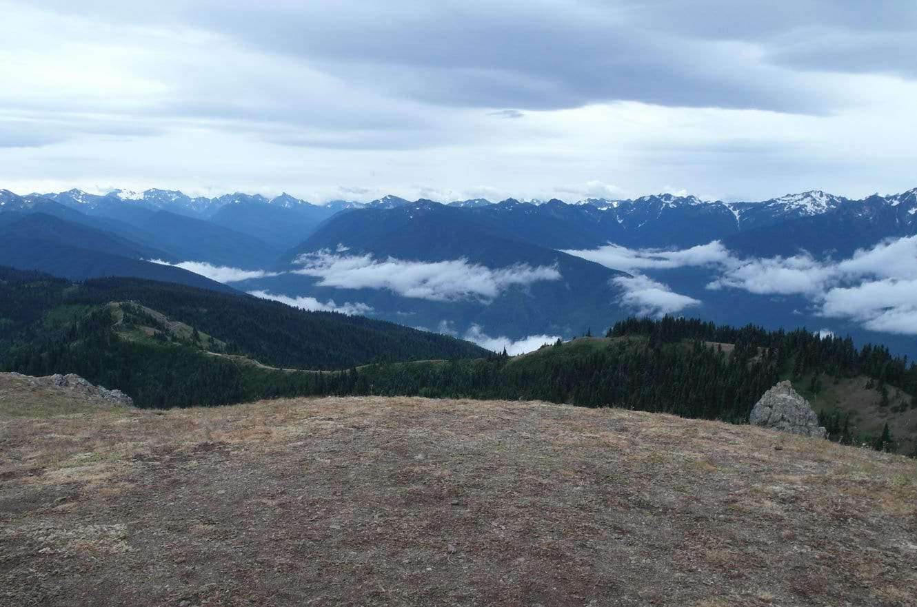
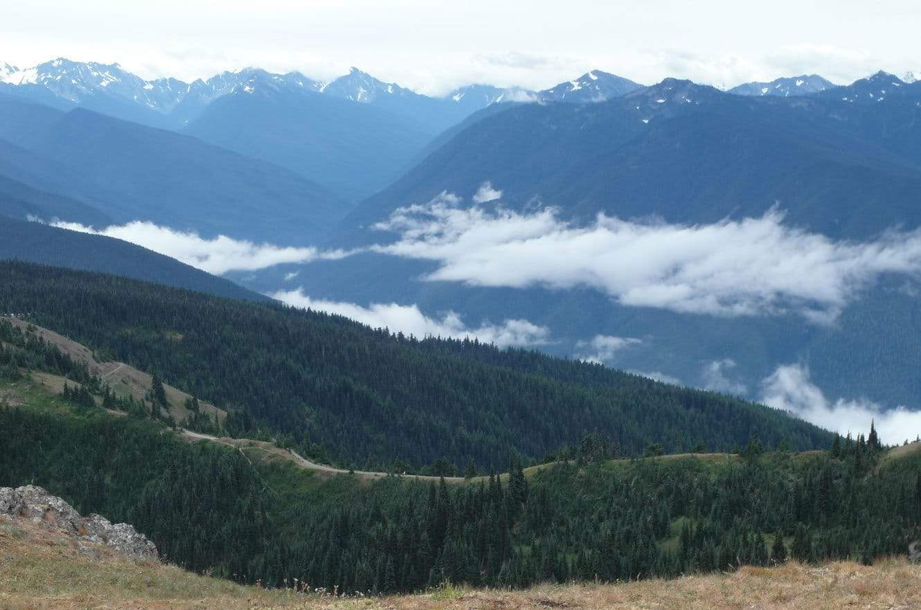
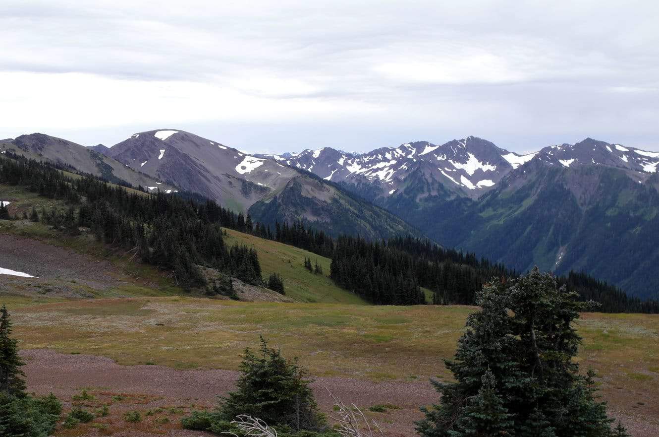
Hurricane Ridge is the most easily accessed mountain area within Olympic National Park. It’s 1.6 miles one way and once at the top you have panoramic views. The drive up to the trailhead parking lot was in fog so thick I could barely see the road. Luckily, it cleared up by the time I made it to the top of the trail.
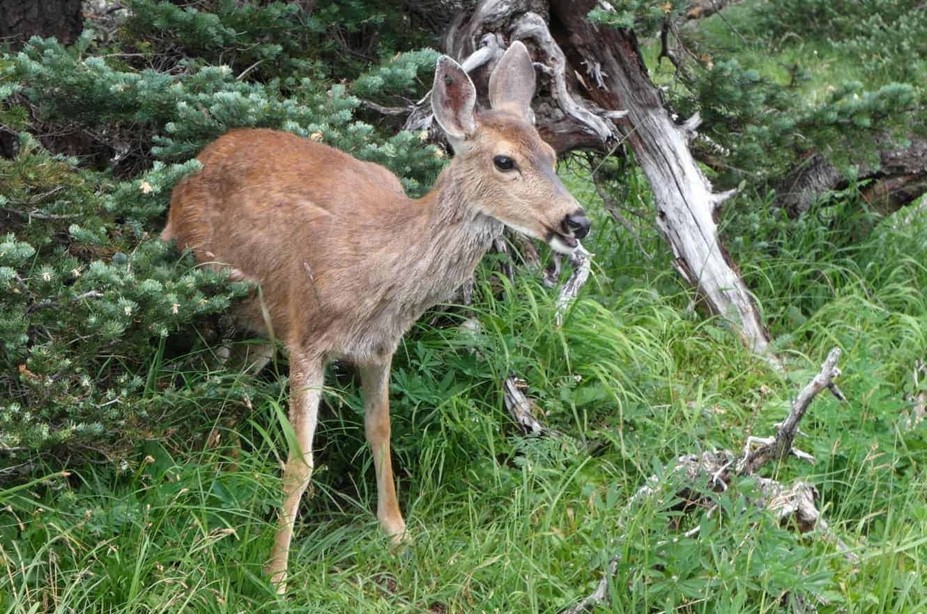
This deer just didn’t feel like moving and it stayed put while I walked by within a few feet. Maybe it was the thin oxygen in the air… (*shrugs)
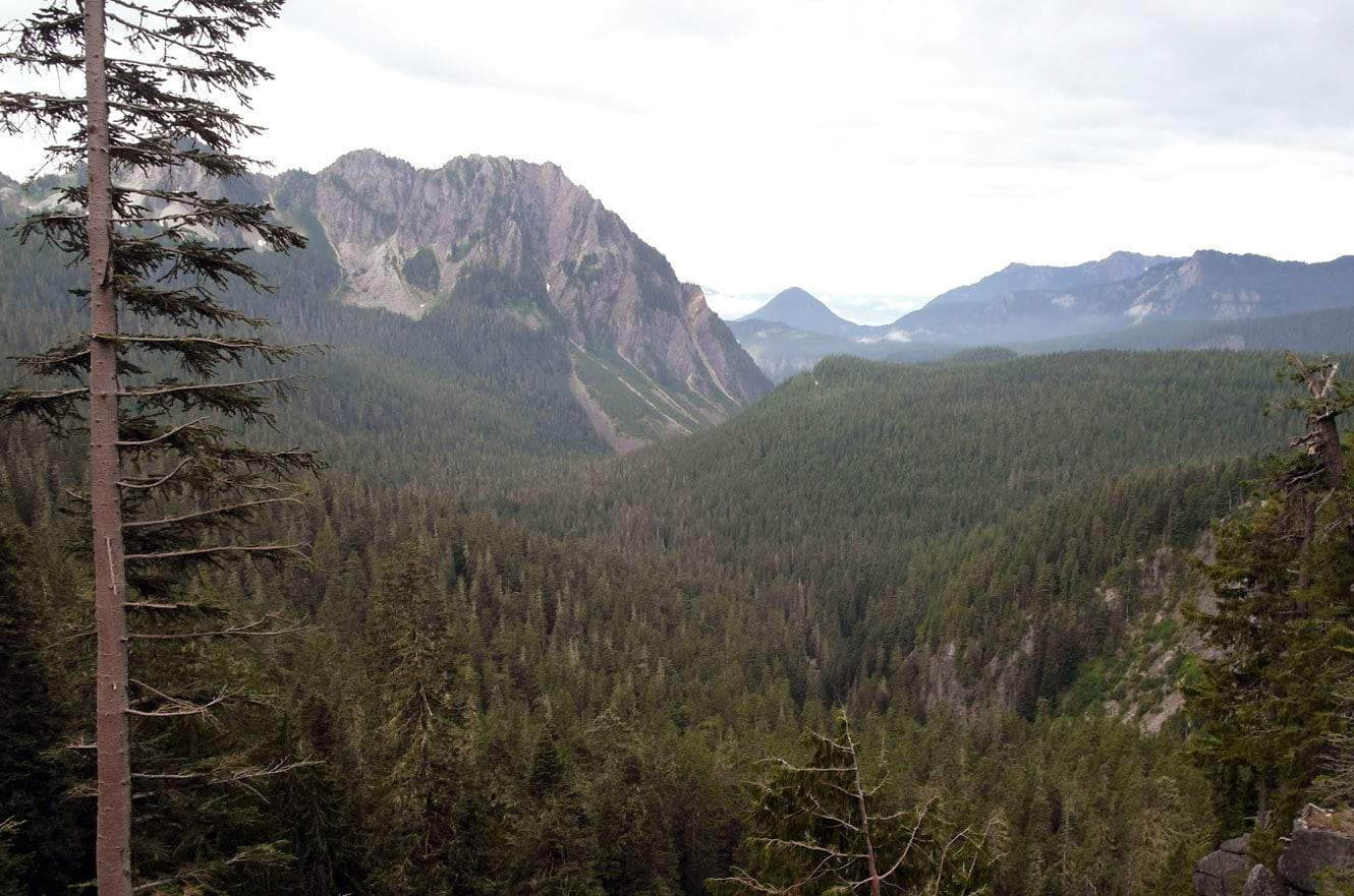
After I left Olympic National Park I made a quick decision to head over to Mount Rainier. It was almost a mistake because: 1) It was Saturday. 2) Because it was a Saturday every camping spot within a 100 mile radius was taken. 3) Since it wasn’t planned, I had NO idea where to go.
Fate stepped in once again, at least for the camping issue, by simply talking to the right person at the right time, I found myself camping on the lawn of one of the nicer inns in town for a whopping $7. The owner felt that she had to apologize for having to charge me (that much) but it did include the use of the bathroom. (*laughs)
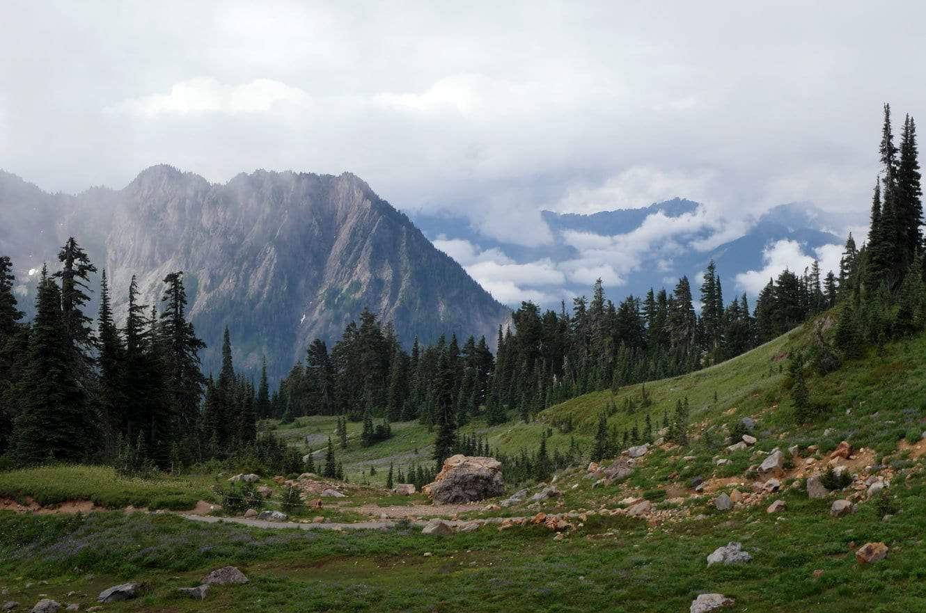
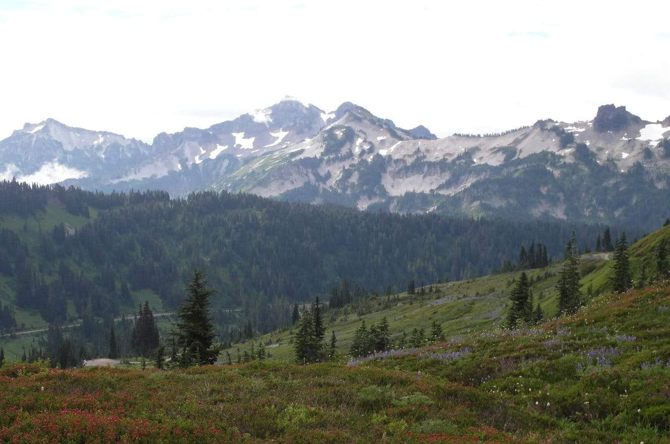
A short hike at the base Mount Rainier was the best I could do but the views were still amazing. (I know, I know… I use the word “amazing” way too often. Where is that thesaurus when you need it!) The views were AWESOME! (Better?)
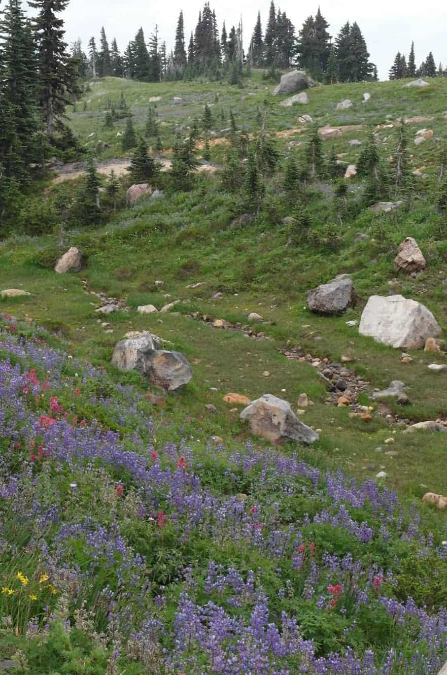
The wild flowers are BEAUTIFUL during August aren’t they?
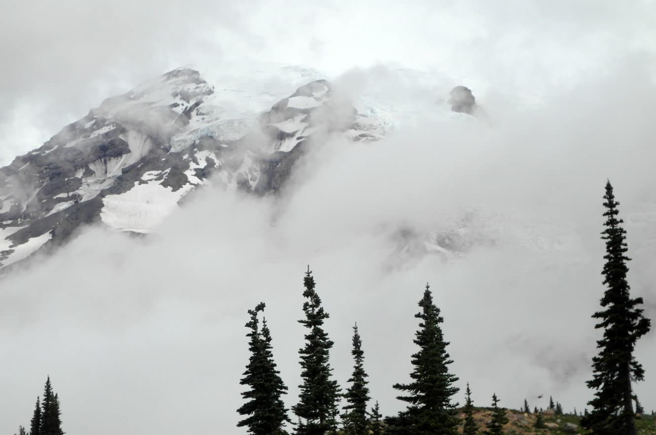
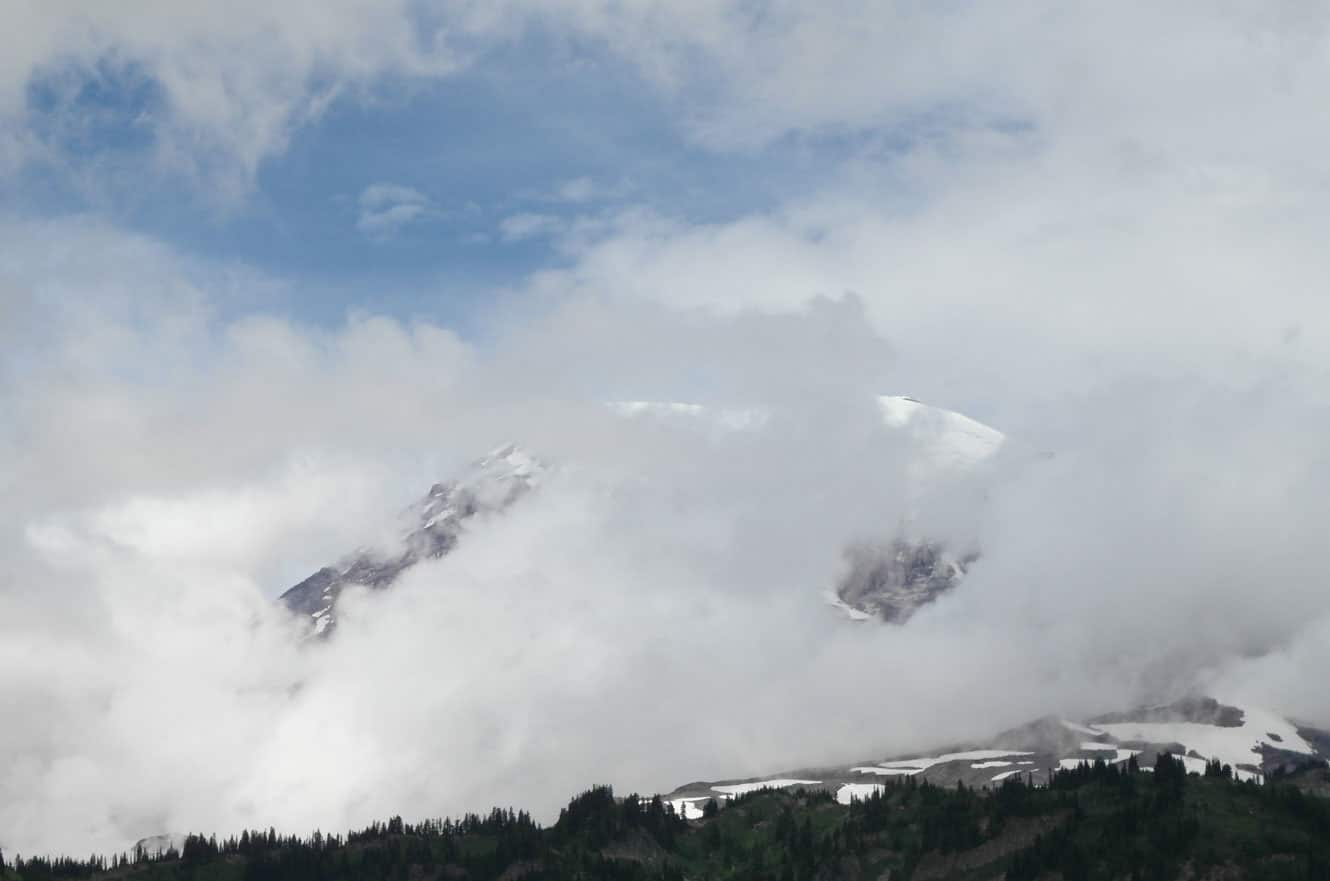
I waited… I waited some more… Then I waited even more… Unfortunately, the clouds never let me have more than a glimpse of Mount Rainier. My photos don’t do it justice either. In person you could see the brillian blue of the glacial ice at the peak. It’s the tallest mountain in Washington and the Cascade Range at 14,411′ and it’s also considered one of the most dangerous volcanoes in the world because of it’s large amount of glacial ice. According to Geology.com the risk is actually from lahars, which I had to look up in the dictionary. It seems that lahars look and behave like flowing concrete and they destroy or bury everything in their path. Remember kids, in the event of lahars, it’s always a safe bet to move to higher ground. 😉


